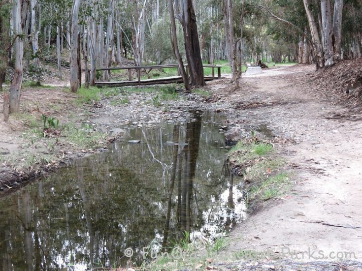
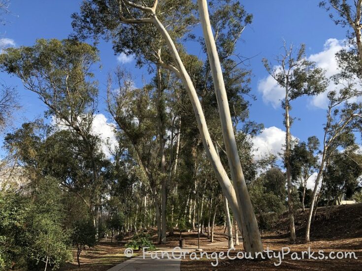
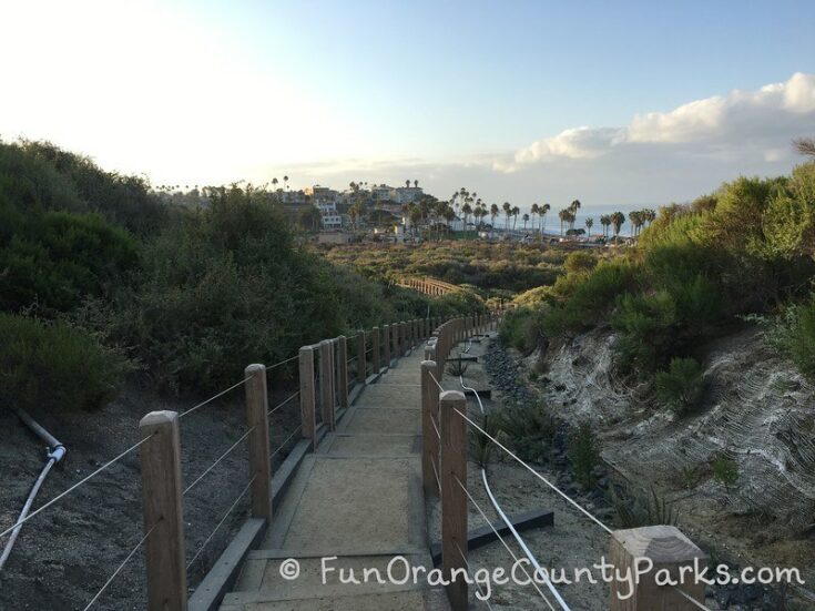
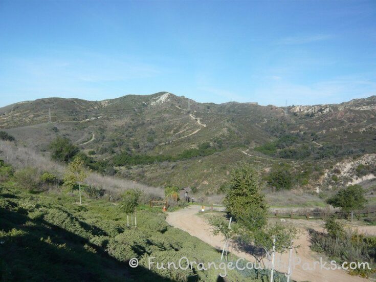
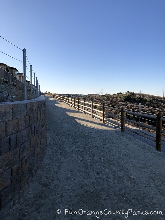
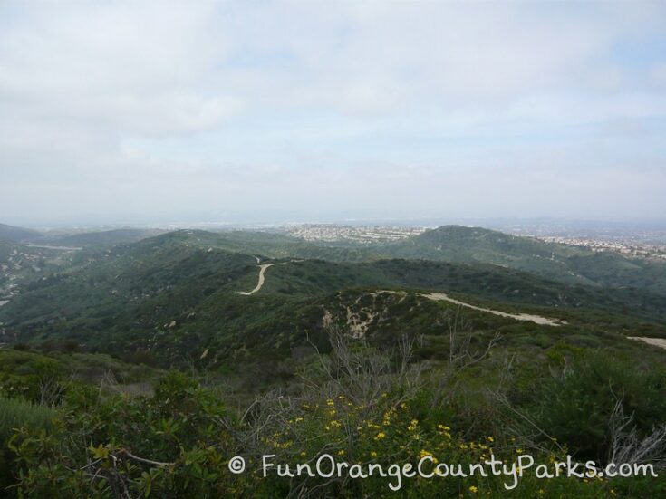
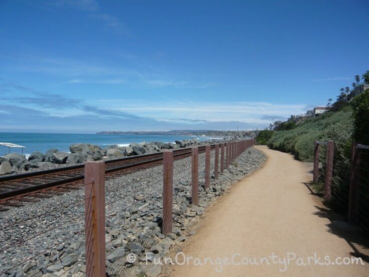
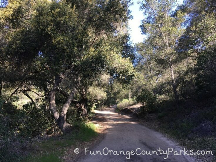
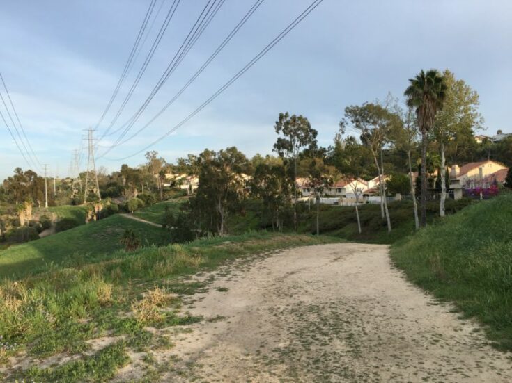
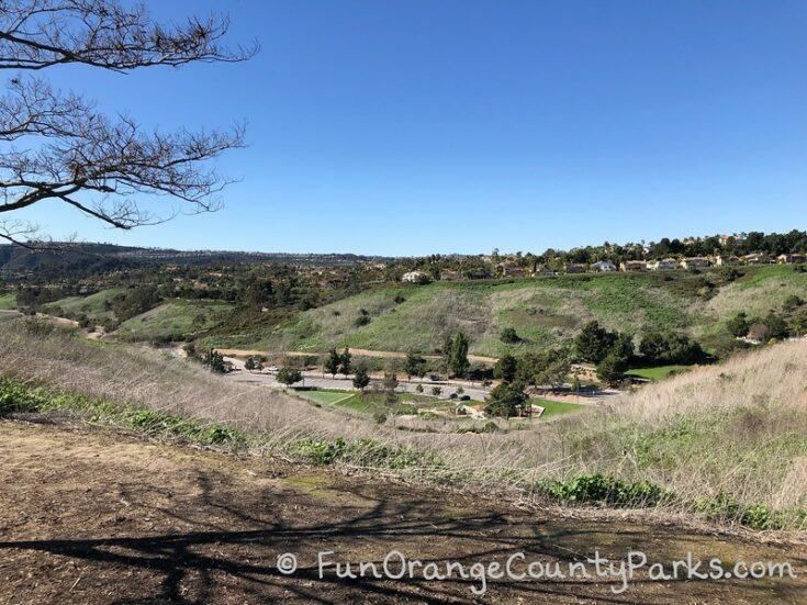
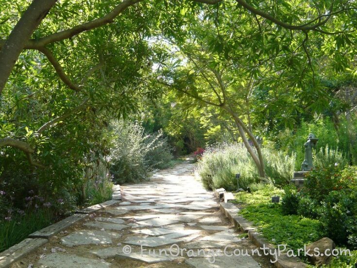
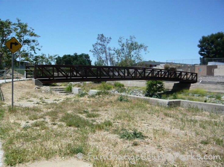
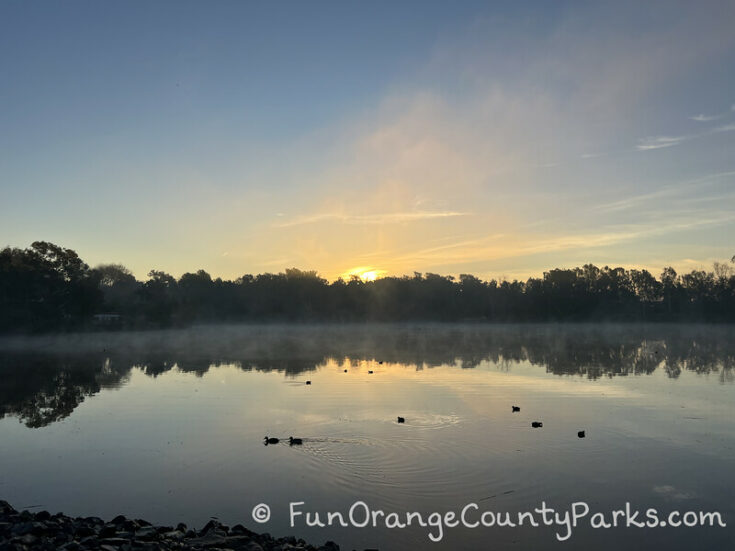
There are over 15 playgrounds nearby walking trails in Orange County to inspire you to get outdoors and go exploring. Whenever we go to playgrounds, I'm always looking for somewhere to stroll. (Park pictured: Oso Viejo Park in Mission Viejo - see details in the parks list below).
Remember to stay aware of your surroundings and, if possible, never walk alone. Use the buddy system for your safety!
Orange County Playgrounds Near Walking Trails
The playgrounds I picked for this list have walking trails RIGHT off the playground. You only have to park once and then walk into nature — or onto a walking path — or hiking trail from the playground.
Also, these ideas are NOT meant for a full-on hike. It's more of a way to extend the playground play by going to observe something in nature nearby. These trails make it easy to make some nature discoveries!
Lake Forest Park
Very small playground leads to walks under eucalyptus.
Trail Distance: Short stroll
Trail Surface: Dirt
Be Aware: Can be muddy after a rain. Also, the trails go behind homes so it would be nice if you could be respectful and not disturb this peaceful setting with too boisterous play -- save that for the playground.
Restrooms at the park? NO. But there are some nearby at Serrano Creek Park or Heritage Hill Historic Park.
Serrano Creek Park in Lake Forest
Very nearby Lake Forest Park, Serrano Creek Park also has a path beneath eucalyptus groves.
Trail Distance: Short stroll. There's a full description of this little nature walk and more photos in my blog post about the park.
Trail Surface: Sidewalk
Restrooms at the park? YES.
Pico Park + Canyon View Park in San Clemente
Pico Park and Canyon View Park playgrounds lead right to groomed trails with views of the ocean and stairs if you want them. (Find out more about Sea Summit Trail in San Clemente).
Trail Distance: Short stroll or easy exploring. You can hike between parks or just take quick explorations off the playground. Great ocean views all along the way. Not the best for strollers because of the stairs.
Trail Surface: Decomposed granite and stairs
Be Aware: Parking may be challenging on busy weekends since the parks were built more for the residents.
Restrooms at the park? YES (restrooms at both playgrounds).
Concourse Park in Portola Hills
Walking trail is off the back of the playground and leads into Whiting Ranch wilderness trails. It could be a bit hike for a little toddler to just go down the trail from the playground a little bit.
Trail Distance: Walk for miles!
Trail Surface: Dirt
Trail Map: Trail Map from OC Parks shows Concourse Road Trail as moderate leading to an easy Edison Trail.
Be Aware: This is a known mountain lion area so be aware with small children and I have seen rattlesnakes in the area, as well. Also - watch for mountain bikers! They are usually courteous, but may not be expecting small children on the trail.
Restrooms at the park? YES
Portola Park in Lake Forest
The playground has pretty views of Orange County and there is a path leading from the playground around the housing development there.
Trail Distance: Short stroll or longer walk
Trail Surface: Dirt
Trail Map: This map shows a blue perimeter trail with stops at other parks.
Alta Laguna Park in Laguna Beach (Top of the World)
This park links up with Aliso & Wood Canyons trails and Laguna Coast Wilderness.
I love to walk up to the Knoll where everyone watches the sunset. We start there to look at the view and then hike the trail to "discover" the playground.
It feels like you are in the wilderness for about 5 minutes!
Trail Distance: Short stroll from playground to Carolyn Wood Knoll – connects to wider trail to “walk for miles!”
Trail Surface: Dirt
Trail Map: The park is at Top of the World on the left side of this map (another nickname for the park) and there is a trail marked EASY called West Ridge Trail. It may say easy because it is wide and basically a fire break road. But if you walk it for a long distance it will be uphill on your way back.
Linda Lane Park or North Beach Playground in San Clemente
Linda Lane Park sits in a grassy area at the top of a hilly beach parking lot in San Clemente. Hike down the hill to catch up with the trail.
Or park at the north end of the trail and head south from North Beach playground (that post also has a description of the whole San Clemente Beach Trail).
Walk to the San Clemente Pier from here, too.
Trail Distance: About a mile to the San Clemente pier from North Beach and then another mile south to Calafia Beach.
Trail Surface: Decomposed granite and some boardwalk above the train tracks
Canyon View Park in Aliso Viejo
Past the playground, walk to trails leading into Aliso & Wood Canyons.
Trail Distance: Short stroll around perimeter sidewalk connects to downhill hike into the canyon where you can walk for miles (but, remember, you have to walk up again!)
Trail Surface: Dirt
Trail Map: This park in Aliso Viejo is on another edge of Aliso & Woods Canyons. The easy trail coming off the park is Wood Canyon Trail which you can see on the trail map.
Be Aware: This is definitely one to watch out for mountain bikers who can come by fast. You will know if it's a busy biking day when you park - there will be cars crowding the street parked on the curb. Other days or times, when parking is light would good times to try it out.
Restrooms at the park? NO. Only portable toilets.
El Conejo Park in Laguna Hills
Leads to trails to the giant LH on the hill behind Ralphs grocery store. You’ll gain elevation on this dirt trail.
Trail Distance: Short stroll or exploring the hill trail
Trail Surface: Dirt
Be Aware: It's a wide trail, but it may not be super easy with a stroller because of the elevation. You'll be pushing uphill a lot of the way. Also, Build-a-Fort summer camp takes place in this park during summer months - so you might want to plan for spring hikes here instead when the hills are green.
Restrooms at the park? NO.
Chapparosa Park or Reef Node Park in Laguna Niguel
You can go all the way to Salt Creek Beach or up the hill on a paved trail to a whole network of possibilities. (Find out more about Salt Creek Trail).
Trail Distance: Short stroll or walk for miles!
Trail Surface: Dirt & paved
Trail Map: The City of Laguna Niguel has some great trail maps on their Trails page.
Restrooms at the park? YES. Near the sports field.
Crown Valley Park in Laguna Niguel
Winding trails of Niguel Botanical Preserve gardens above the playground. It's super fun for littles to explore and feel lost in wilderness only a few steps away from a bustling community center.
Trail Distance: Short stroll
Trail Surface: Dirt & varied
Trail Map: Niguel Botanical Preserve winds on trails throughout the hills behind the playground and splash pad here. You can see just how extensive the trails are by looking at the Garden Map.
Restrooms at the park? YES. And at the Community Center.
Coastal Peak Park in Newport Beach
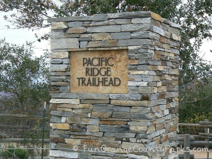
Leads to Pacific Ridge Trailhead and connects to Bommer Canyon below.
Trail Distance: Short stroll or walk for miles!
Trail Surface: Dirt & varied
Trail Map: Coastal Peak Park is listed on some maps as "Ridge Park" which can be really confusing when you are trying to find trail maps. Here is the Laguna Coast Wilderness Park Trail Map with "Ridge Park Public Access" visible at the top of the map under the Legend. That's where you can see the Pacific Ridge Trailhead and it is listed as easy -- but it is not listed below in the hiking trails list. The best map I could get was to zoom in on the park on Google Maps. Here is a link to the park map with the Pacific Ridge Trailhead and Bommer Ridge Trail.
Be Aware: These trails mentioned are at the top of the peak. So any way you go out, you'll have to come uphill on your way back. There is no shade and I know that Bommer Canyon is notorious for rattlesnake sightings in summer. Just a reminder, that these are meant to be toddler-sized hikes where you go out for about 10 minutes or just hang out at the trailhead and head back.
Restrooms at the park? YES.
Oso Viejo Park (Norman P. Murray) and Pavion Park in Mission Viejo
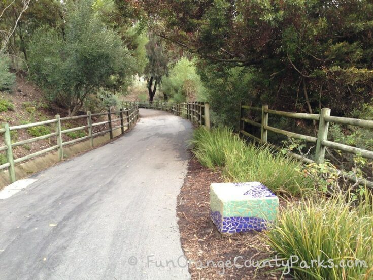
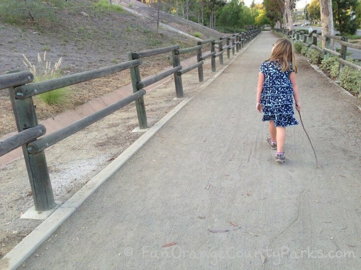
Perfect blend of paved and trails plus the ability to walk all the way up to Pavion Park through the Jeronimo Open Space. Maybe one of my favorite playgrounds nearby walking trails scenarios because both playgrounds are exceptional and reachable by walking along the Oso Creek Trail and into the Jeronimo Open Space. (Find out more about Oso Creek Trail in my post about the trail).
Trail Distance: Short stroll or walk for a couple of miles!
Trail Surface: Paved with some areas of dirt trail
Trail Map: This brochure from the City of Mission Viejo has a map of the trails.
Restrooms at the park? YES. And also up at Pavion Park, too.
Cedar Grove Park in Tustin
A trail that leads up to Peters Canyon Park.
Trail Distance: Short stroll or walk for miles up to Peters Canyon
Trail Surface: Dirt
Trail Map: There's not really a map for this one. It's just an obvious trail that leads off the playground and connects up with Peters Canyon Regional Park trails if you follow it up the hill far enough.
Restrooms at the park? YES.
Citrus Ranch Park in Tustin
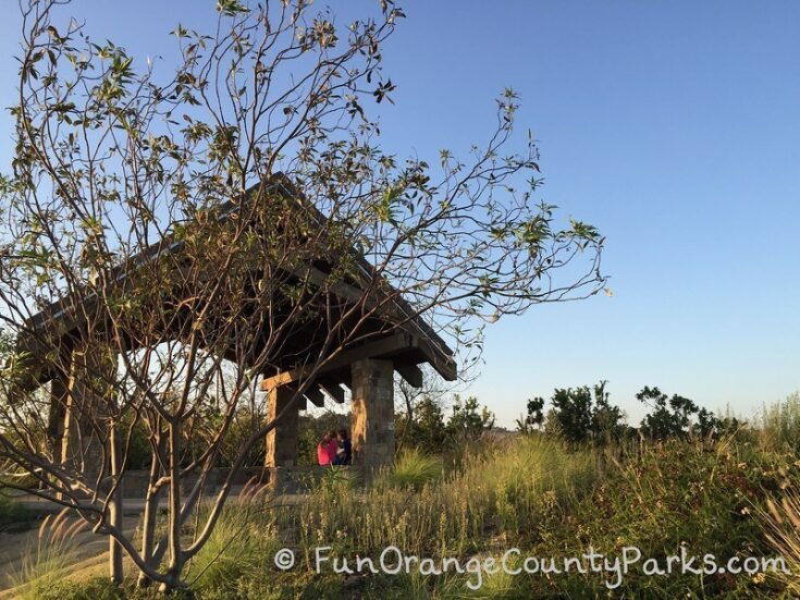
A very short trail that leads up the citrus hill to a lookout and gazebo.
Trail Distance: Short stroll
Trail Surface: Dirt
Restrooms at the park? YES.
Hart Park in Orange
Walk along the creek on the paved bike trail.
Trail Distance: Short stroll or bring your bikes
Trail Surface: Paved bike path
Trail Map: The City of Orange has a map that shows all the stops along the Santiago Creek Trail access with parks listed. A friend showed me this short one where you just walk across the bridge and there is an archery range and just some fun nature/birds to spot.
Be Aware: I would do this one with a friend because the trail can feel isolated in spots.
Central Park in Huntington Beach for Kids and Families
The new playground in Central Park is right on a lake with a wooden walking path connecting you to the Urban Forest on the Shipley to Shore Trail. You can also walk from the playground to the Shipley Nature Center!
Trail Distance: However long you want to make it
Trail Surface: Boardwalk, sidewalk, asphalt, dirt trails
Trail Map: Here is an excellent map of the trail from the Urban Forest volunteers at Huntington Beach Tree Society.
Be Aware: Watch for bird droppings under the eucalyptus. There are cormorants nesting there at certain times of year!
Restrooms at the park? YES.
- Hurless Barton Park in Yorba Linda with El Cajon Trail nearby
- El Dorado East Regional Park in Long Beach (not OC, but very close) has playgrounds with trail that leads around park
OC Parks Regional Parks with Playgrounds Nearby Hiking Trails
- Yorba Regional Park (paved trails surrounding the park for strolls)
- O'Neill Regional Park (short nature trail between playground and nature center, plus many more trails including a Story Walk & Mesa Trail)
- Carbon Canyon Regional Park (try the trail to the redwood grove or just walk around the lake, plus many more trails)
- Clark Regional Park (short trail lining the perimeter of the park)
- Laguna Niguel Regional Park Lake Walk (walk around the lake)
- Mile Square Regional Park (take a stroll inside the nature area)
- Irvine Regional Park (large trail system from different points in the park)
- Santiago Oaks Regional Park (short strolls or longer hikes)
- Caspers Wilderness Park (playground in natural setting with system of trails nearby - or walk to the nature center and take a stroll through the short trail right outside)
This info is presented as a community service to those wanting to enjoy the outdoors in Orange County. You may used this information with the understanding that FunOrangeCountyParks.com makes no warranties or guarantees, although every attempt will be made to make sure the information is accurate. This blog is not intended to replace official sources and information should not be considered error-free or not be used as the exclusive basis for decision-making. The use of the information provided by this blog is strictly voluntary and at your sole risk. FunOrangeCountyParks.com assumes no responsibility for liability whatsoever associated with the use or misuse of this data.
Originally posted in April 2017.

