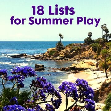
How far is it:
- around the lake?
- to walk the loop?
- from one park to another?
I don't usually have that number at my fingertips, but I check it on Google Maps to figure walking distances or run mapping when readers write in asking about it.

Figuring Out Walking Distances in Google Maps
- Go to maps.google.com
- Type in the name of the park into the Search bar
- Zoom in to the point where you can see the whole walking route
- Click "Get Directions"
- It will default to the symbol of the car and driving directions. Click on the symbol for pedestrian. (If that doesn't work, try using the bike symbol.)
- Right click a point on your route to set markers (A, B, C, etc.)
- If you need more than two points, right click for "Add a destination" to get another marker to show up
- Drag the little white spots to align with the route you walk
- When you are done, the distance will show up in the left column
NOTE: The bike and walk maps in Google are in BETA - so don't rely on them heavily. However, when I compared them to other sources they seemed right on.

Here are some of the walking distances I've calculated:
Tri-City Park in Placentia
QUESTION:
"Can you please tell me how many laps around the lake it takes to make a mile?"
ANSWER:
It looks like the inner circle is .6 miles. MAP OF MILEAGE FOR INNER LOOP
The outer circle is a bit longer at .9 miles. MAP OF MILEAGE FOR OUTER LOOP
Heroes Park in Lake Forest
QUESTION:
"I have a park conundrum and of course you were the first person I thought of who could help. I walk the path that goes around the Heroes Park. I would like to know how far I am walking. Is there any way to find out how long the path is? Based on visual assessment and how long it takes me to make a loop, I am guessing it is ½ mile, but I would love to know."
ANSWER:
I emailed this reader some suggestions and she got back to me saying it's .5 miles for anyone who might want to know. [When I tried entering it in Google Maps, it wouldn't read the sidewalks in this particular park. So - it doesn't work every time.]
Lake Mission Viejo
Distance = 3.2 miles
Map around Lake Mission Viejo
Rancho Santa Margarita Lake
Distance = 1 mile
Map around Rancho Santa Margarita Lake
Woodbridge Lake (North Lake in front of Ruby's in Irvine)
Distance = 1 mile
Map around Woodbridge Lake
Aliso Viejo Walk: Stroll from Foxborough to Hillview Park
I used EveryTrail to map this walk - so you can see how it works. I also made a short video.

More Measuring Tools for Walking Distances or Run Mapping:
- Here is a post on Walk Maps that I wrote in January 2010. It highlighted MapMyWalk.com, but there may be better apps out there now?
- Here's an app called WalkTrackerPro, but it's $2.99.
- EveryTrail is online and I've mapped walks using their app
We like to walk and take slow nature hikes, but I’m not the expert. Check out these five SoCal walkers/hikers/explorers for even more measurements and details:
What tools do you use? Or do you just get out there and walk for fun, like me?